Saturday, June 28, 2014

Lake Blanche and Sundial peak

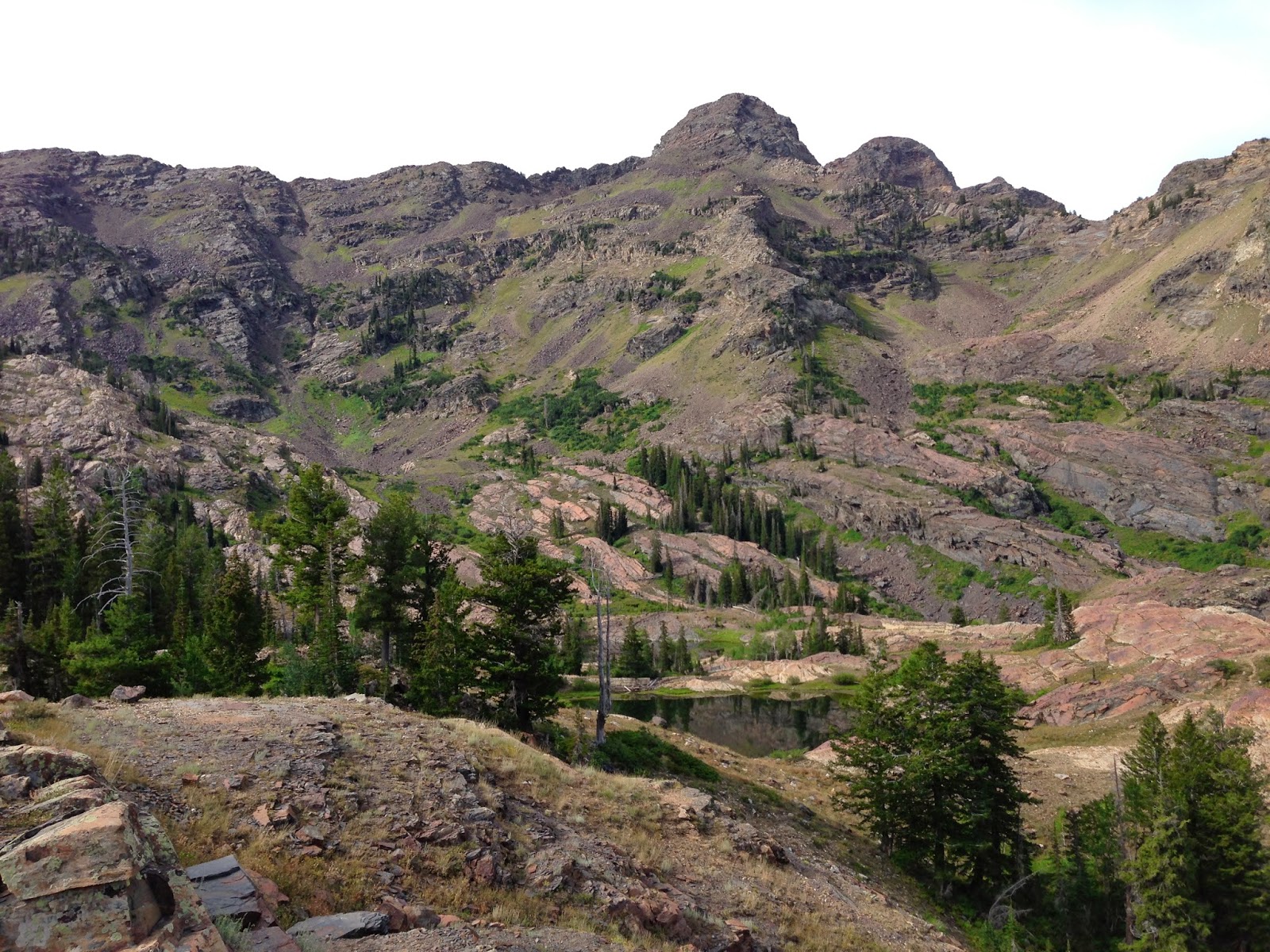
Location: Big Cottonwood Canyon, Utah
Mill B South Fork Picnic Ground is the trailhead
Elevation to start: 6200 ft
Elevation gain/loss: 2780 ft
Distance: 6.64 miles
Difficulty: Difficult/ Strenuous

Notes: Rocky, steep trail, trekking poles needed in some psots, too narrow for other spots


Sundial peak behind Lake Blache

View west of Lake Blanche
slickrock hiking to the west of the lake


Looking back at the trail- almost there!
Granite fields

Narrow, leafy trail in some parts
Wide open trail in other spots

The steep, rocky path at the end of the trail, close to the lake


No comments:

Post a Comment